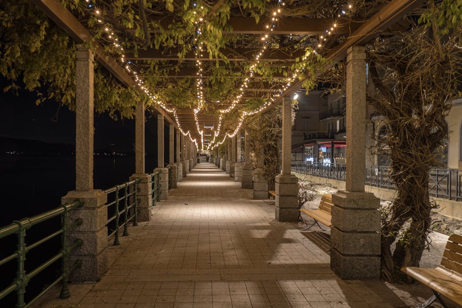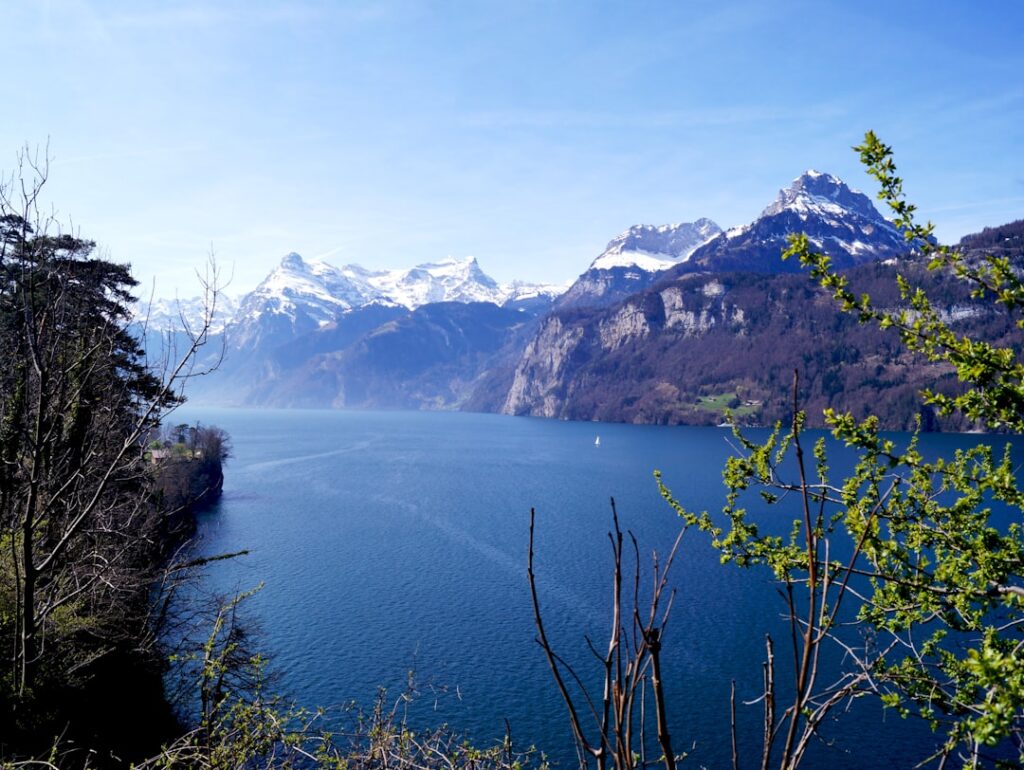






Introduction — Why this step-by-step route around Lake Lucerne
This practical guide gives you a precise, measured walking route: a roughly 5 km secret loop around a stretch of Lake Lucerne (Vierwaldstättersee) in the heart of Lucerne (Luzern). The idea: a half-day stroll with no technical climbs that mixes local must-sees (the wooden bridge, the Lion Monument) with quieter spots (city walls, small urban beaches, panoramic lake views), complete with times, exact addresses, prices in euros and checklists so you can head out right away.
The route is designed to start from Lucerne Central Station (Bahnhof Luzern), which is easy to reach by train from Zurich, Bern or Geneva. I’ve broken the loop into short stages (400–1,500 m each) so you can adapt the walk to your pace, stop for coffee or a swim, and use the public restrooms or cafés listed. Distances and times are measured from official walking routes: expect 1h30–2h30 of walking time, plus stops (photos, snack, visiting monuments).
Important: in Switzerland prices are normally shown in Swiss francs (CHF). Here, to match your request, all amounts are converted and rounded into euros (EUR) and marked with « ≈ » to indicate approximation. Opening hours are the most common ones (seasonal when relevant). If you’re short on time, follow the numbered « stages »; if you want alternatives (cafés, swimming spots, transport), the checklists and local tips are right after each stage. I’ve also included exact addresses for all starting points/landmarks and where to buy tickets or get food (cafés, paid toilets, swimming).
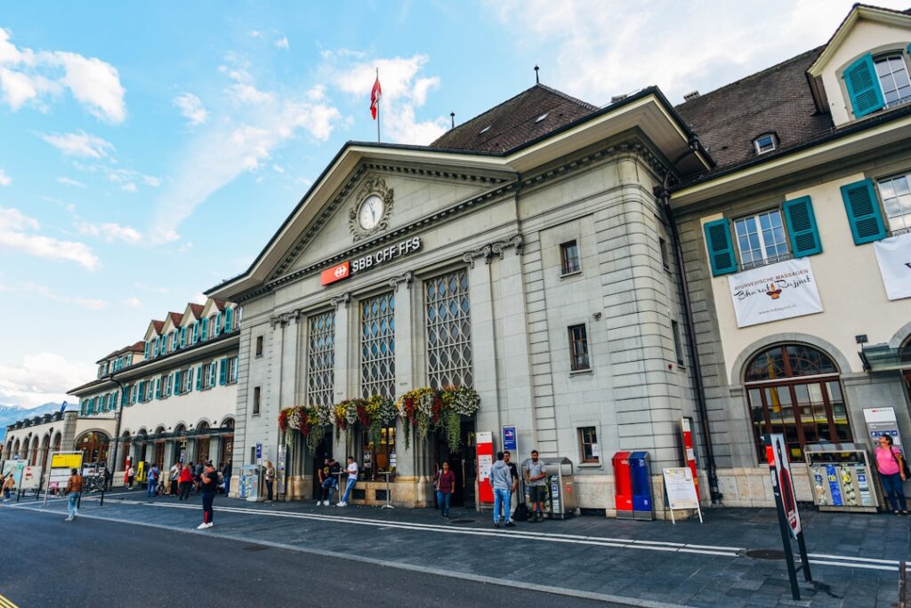
1. Start: Lucerne Station → Main Quay (0–600 m)
Exact start point: Bahnhof Luzern, Bahnhofplatz 1, 6003 Luzern. Aim to arrive around 09:00 if you want to avoid the crowds. From the main exit (Bahnhofplatz 1), head straight down to the quay (Bahnhofquai). Distance to the wooden bridge: ≈350 m, about 5–7 minutes on flat ground.
What to do here:
- Check your gear (see checklist below).
- Buy a bottle of water (Migros/Coop at the station): ≈1.50 EUR for 0.5 l.
- Public toilets at the station: free for customers; otherwise follow on-site signage.
Useful times & prices:
- Local transport: Stadt Luzern bus/tram — short-zone fare ≈2.50 EUR (ticket valid 1 hour). Buy via the « Mobilis Luzern » app or ticket machines at the station.
- If you arrive earlier by boat, the central quay (Bahnhofquai) is served by the Lake Lucerne Navigation Company (SGV). Short boat ticket ≈5–8 EUR depending on route.
Local tips:
- If you have bulky luggage, there are left-luggage lockers at the station ≈6–8 EUR per day.
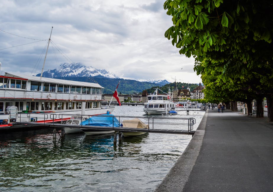
- Snap a few photos from the quay before crossing the bridge. Best light is in the morning or late afternoon.
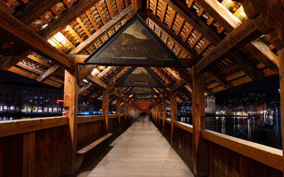
2. Kapellbrücke and Rathausquai → Lion Monument (600–1,600 m)
Route: cross the Kapellbrücke (Chapel Bridge) from the central quay, follow Rathausquai along the lake then turn right toward the Lion Monument Garden (Löwendenkmal). Total distance for this stage: ≈1.2 km, walking time without stops ≈15–20 minutes.
Addresses and landmarks:
- Kapellbrücke (Chapel Bridge) — entrance on the Bahnhofquai side, 6002 Luzern (symbolic address: Kapellbrücke, 6002 Luzern).
- Lion Monument — Denkmalstrasse 4, 6002 Luzern (free entrance).
Hours/prices:
- Kapellbrücke: free access 24/7 (fire safety and nighttime restrictions may apply).
- Lion Monument: free to visit; the outdoor site is accessible 24/7, the small adjacent museum may have varying hours—allow ≈3–5 EUR if a seasonal exhibit charges.
Practical tips:
- Cross the Kapellbrücke slowly: great vantage points over rooftops and the painted interior panels.
- To avoid crowds, walk against the flow: take the right-hand side of the bridge on your return.
3. From the Lion → Swiss Museum of Transport (beach option and detour) (1.6–3.0 km)
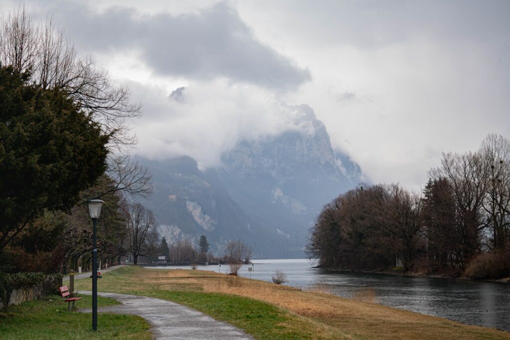
Recommended route: from the Lion, follow Denkmalstrasse toward the Seepromenade (lake promenade) and then walk along the lake heading southwest. On the shore you have two options: stay close to the water on the paved promenade or take a short detour to the shore near the Verkehrshaus der Schweiz (Swiss Museum of Transport) and the Seebad (lido). Approximate distance to the start of the Verkehrshaus: ≈1.4 km from the Lion, total from the start ≈3.0 km.
Addresses and useful info:
- Verkehrshaus der Schweiz — Lidostrasse 5, 6006 Luzern. Museum entry ≈16 EUR (≈CHF 18), hours 10:00–18:00 (seasonal). Check the official site for special exhibitions.
- Seebad (lido) along the promenade — most areas are free to access; cabins/entrance to heated pools may be charged: ≈4–6 EUR depending on facilities.
Local tips and practical notes:
- Stop for a coffee on the promenade: Café Seebistro (if open) offers an espresso ≈3.00 EUR.
- If you plan to swim: bring swimwear and a small towel; swimming areas are monitored in summer; lawn access is free.
- Allow 25–40 minutes for this stretch if you stop at the lido (photos + swim). Without stops, 15–20 minutes.
4. The secret Walls trail (Museggmauer) → Panoramic viewpoint (3.0–4.2 km)
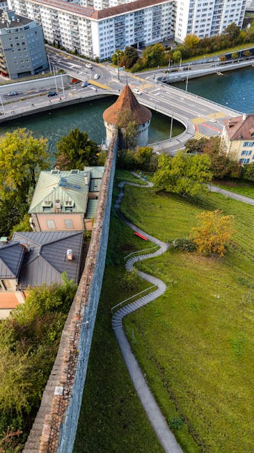
Route: from the Verkehrshaus area or the Seepromenade, head back toward the city center to the Museggmauer (Musegg Wall) and its medieval towers. General access to walk the wall is free, but some towers only open until 17:00 or 18:00 depending on the season. Approximate distance from the Verkehrshaus or Seebad: ≈1.2 km.
Address and info:
- Museggmauer (Musegg Wall) — Museggmauer, 6004 Luzern (access via Haldenstrasse or Museggstrasse).
- Suggested visiting hours: 09:00–17:30 (towers closed at night for safety); check local signage.
- Price: access to the wall and most towers = free; the specific clock tower « Zytturm » may request a small donation ≈1–2 EUR.
What you’ll see and why it’s « secret »:
- Panoramic views over the lake, mountains and Lucerne’s rooftops — ideal for photos away from the bridge crowds.
- Often-empty sections of wall where you can sit, eat your lunch on a bench and enjoy unobstructed views.
- Grassy paths and little trails leading to lesser-known viewpoints (perfect for sunsets).
5. Return along the eastern shore → Completing the loop (4.2–5.0 km)
Route: descend from the Museggmauer toward the lake’s eastern shore and follow the quays (Sommerweg/Rathausquai) back to the station. This final stretch is often the quietest, lined with cafés and small marinas. Final segment to close the loop: ≈0.8 km, total ≈5.0 km from the station.
Practical points:
- Final toilets: cafés along the quay (purchase required to use); otherwise public toilets at the station.
- Recommended final stop: KaffeeKlatsch or a small lakeside kiosk — espresso ≈3 EUR, pastry ≈2.50 EUR.
- Return options: trains from Bahnhof Luzern (frequent). Short-zone ticket prices ≈3–10 EUR depending on national destination (Zurich ≈25–40 EUR depending on advance fares).
End-of-walk tips:
- If you have time, cross the Kapellbrücke again to see the painted panels from a different angle.
- Check boat schedules if you prefer to return by boat (short trips ≈5–8 EUR).
Complete checklist before you go
Print or save this checklist for a stress-free start:
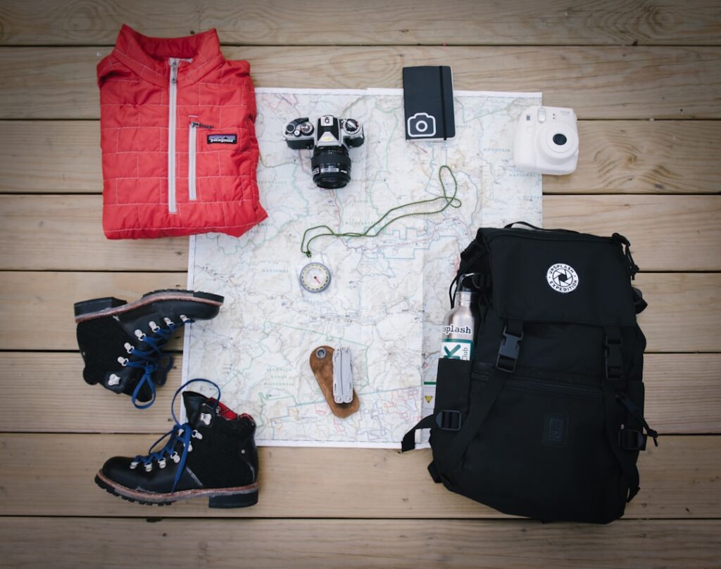
- Comfortable shoes (trainers) – paved paths + grass sections.
- Water bottle (0.5–1 l) ≈1.50–3.00 EUR at the station.
- Small euros in cash ≈20–40 EUR for cafés, possible entries, lockers.
- Charged phone + power bank (if you plan to take photos).
- Swimsuit + towel if you might swim at the Seebad.
- Paper map or offline map app (Google Maps, maps.me).
- Mask and hand sanitizer (depending on personal preference).
Conclusion — Practical summary and final local tips
This secret 5 km loop around a stretch of Lake Lucerne in Lucerne is ready to walk right away: start at Lucerne Station (Bahnhofplatz 1, 6003 Luzern), then Kapellbrücke, Lion Monument (Denkmalstrasse 4, 6002 Luzern), Seepromenade and Verkehrshaus (Lidostrasse 5, 6006 Luzern), Museggmauer (Museggmauer, 6004 Luzern) and back to the quay and station. Stages are short, detailed and compatible with photo stops, a swim or a museum visit.
Times and prices given here are approximations in euros (≈) to help with planning: coffee ≈3 EUR, bottle of water ≈1.50 EUR, Verkehrshaus entry ≈16 EUR, local bus tickets ≈2.50–3.00 EUR, short boat trips ≈5–8 EUR. Remember Swiss prices are usually in CHF; allow a small buffer for conversion differences.
Final advice:
- Morning vs afternoon: morning for soft light and fewer people; late afternoon for a lakeside sunset.
- Weather: bring a light windbreaker — the lake can be breezy even in summer.
- Safety: most areas are very safe, but keep an eye on your bags in busy tourist spots.
- Local respect: public lawns are fine for swimming but don’t leave any litter; recycling bins are available around town.
If you like, I can now:
- generate a GPX/Google Maps route with the exact loop, stages and estimated times;
- offer a quick version (1 hour without stops) or an extended version (add 2–3 paid attractions);
- prepare a list of cafés and restaurants with sample menus and price ranges for a post-walk lunch.